- Home
- Destinations
- Things To Do
Top Things to Do in Sri Lanka


- Blog
Top Things to Do
- Top 5 things to do in Ella
- Top 5 things to do in Mirissa
- Top 5 things to do in Nuwara Eliya
- Top 5 things to do in Colombo
- Top 5 things to do in Kandy
- Top 5 things to do in Galle
- Top 5 things to do Around Yala
- Top 5 things to do in Bentota
- Top 5 things to do in Jaffna
- Top 5 Things to do in Matara
- Top 5 things to do in Hambantota
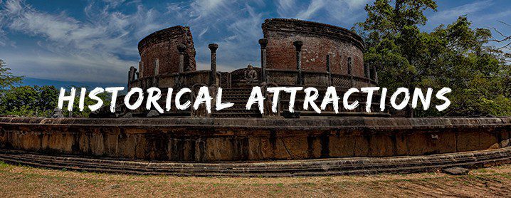
Ultimate Travel Guides
Featured Articles
- 10 Reasons why Sri Lanka topped Lonely Planet’s Best in Travel 2019 list
- 5 Unique East Coast Beaches in Sri Lanka
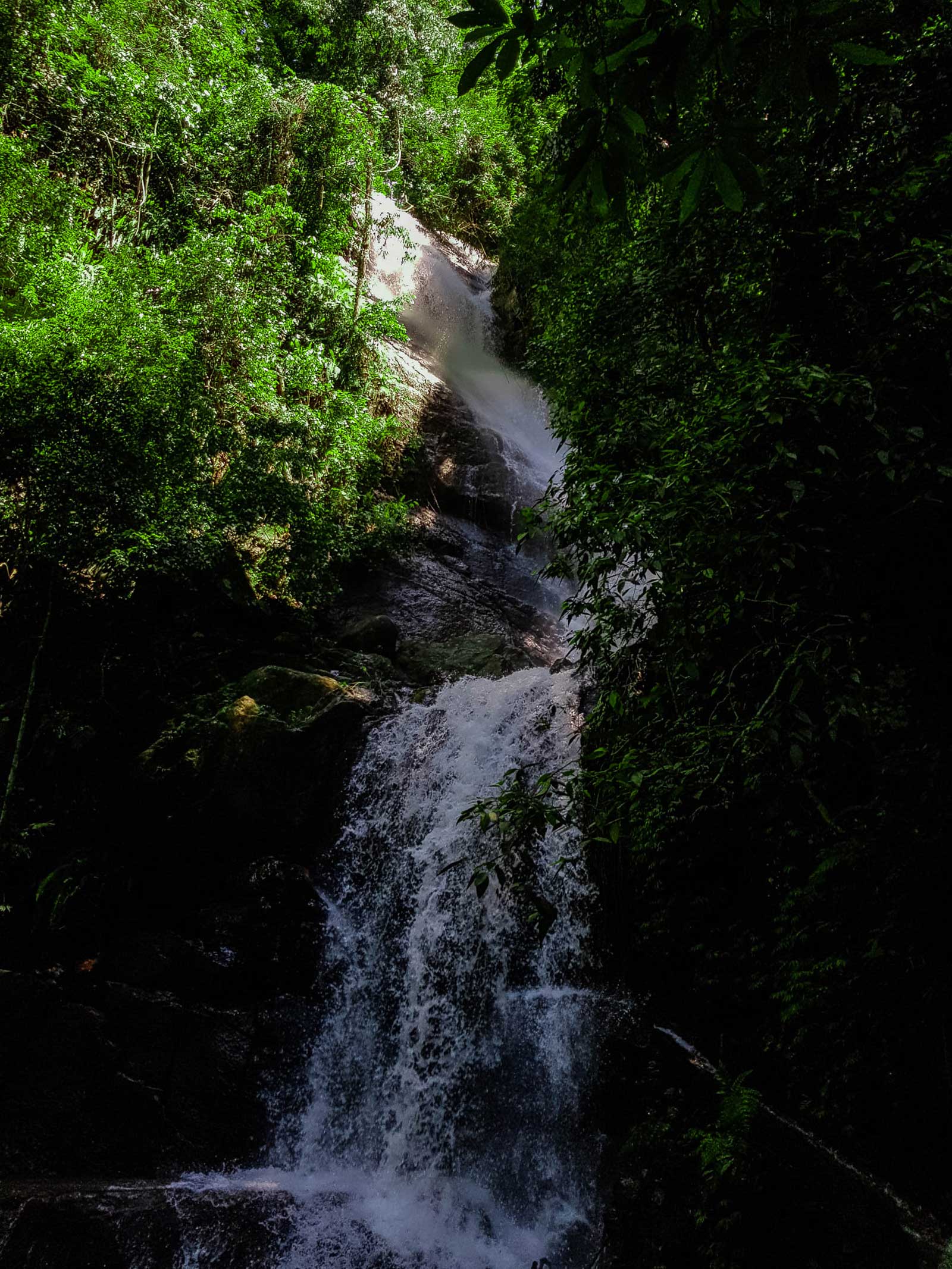
- 5 Unique Waterfalls in Sri Lanka
- 5 well-known Buddhist temples in Sri Lanka
- 5 Colonial Attractions to Visit Within Galle Fort
- 5 Bird Watching Hotspots in Sri Lanka
- 5 Types of Animals to See in Yala
- 5 Kid Friendly Attractions in Sri Lanka
- Ritigala Strict Nature Reserve (Herbal Garden)
- The Ultimate Guide to Whale Watching in Sri Lanka
- Kandy Esala Perahera is one of the greatest shows on earth
- Events