


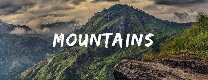

5 scenic hiking trails in hill country Sri Lanka
Whether you are travelling with family or your closest buddies, Sri Lanka has many hiking trails to select from. If you’re looking for one-day hiking places in Sri Lanka, here’s a list of scenic trails to check out.
Lipton’s Seat

Witness an impressive viewpoint in Haputale. After 2.5 hours of a climb, you will reach the infamous viewpoint visited by many locals and foreigners alike. One can also hire a tuk-tuk if they are not up for the climb through the tea plantations.
Located on Poonagala Mountain, 1,950 metres above sea level, Lipton’s Seat gives visitors a 3600 viewpoint. According to various sources, it was believed that this was one of Sir Thomas Lipton’s favourite spots to host guests. The world’s end observation point nearby will give you the opportunity to see the Udawalawe Lake, Handapanagala Lake as well as the Hambantota harbour located on the southern coast. If you reach in the early hours, you can spot a stunning sunrise while the surrounds are covered in mist.
Quick Facts
Route: from Nayabedda Estate – Bandarawela or from Dambatenna Estate – Haputale
Distance from Haputale: 17.2 km (1 hour) [ Directions ]
Clothing: As the weather in the hill country changes make sure to pack some warm clothes as well
Devil’s Staircase

There are two trails to get through to Devil’s staircase, i.e. through Ohiya or Kalupahana. For the daring adventurer, Kalupahana to Ohiya trail will be more appealing since it goes uphill. The 21-kilometre hike with green views in the background is a pleasant sight not to be missed. If you’re a true adventure seeker, a bike ride or a 4WD drive is suggested!

The circled area is a 03km stretch that marks Devil’s staircase. The most treacherous part of the hike via Google Maps
Read our detailed hiking report ➡ A Scenic Hike to Ohiya via Devil’s staircase
Quick Facts
Route: from Ohiya or from Kalupahana
Distance from Ohiya to Kalupahana: ~21 km (There are shortcuts along the way but you shouldn’t be taking those if you’re not confident)
Clothing: Hiking attire and extra clothes and necessary items if you are planning to camp. Wearing sturdy shoes is a must.
Riverston

If you’re looking for a good view with a minimal effort, Riverston hike can be one of the options. Of course, it depends on the route you’re taking. So, if this your first time, be prepared before you head out. On your way, you could also spot 2 waterfalls. The two names are “Sera Ella” and “Bambarakiri Ella”.
The cold and misty spray of water can be soothing if you’re looking for a dip head on to the “Thelgamu Oya”. It is recommended to go through Pitawala Pathana to spot the Riverston Peak as the views are sure to take your breath away.
Quick Facts
Route: from Pitawala Pathana
Distance from Matale: 30 km (1 hour 14 minutes) [ Directions ]
Clothing: Hiking attire and extra clothes and necessary items if you are planning to camp.
Baker’s Bend

Located in the Non-Pareil Estate (upper side) and bordering the Horton Plains, the Baker’s Bend presents travellers with a fantastic view of the surrounds. On a clear day, one can see the Samanala Wewa Reservoir from the viewpoint.
It is recommended to travel by a 4WD vehicle to Baker’s Bend, however, one can also walk near the factory and through the tea plantation as well. There are shortcuts one can take through the estate, but if you’re not up to a steep climb, make sure to use the main road. You can also go up to the tea factory in a CTB bus which operates from 6.00am daily.
View our detailed guide ➡ Baker’s Bend – All you need to know
Quick Facts
Route: from Nonpareil Estate Road
Distance from Belihul Oya: 12 km (45 minutes) [ Google Maps Directions ]
Clothing: Normal attire. Sturdy shoes are preferred as the road above the factory is in a bad condi

This 1,518m tall hill is located in Pussellawa and offers travellers with a panoramic view of the surroundings. One can access the summit through many trails. The easiest trail will take you 30 minutes to cover from the main road and will give you the opportunity to walk through pine trees.
This relatively easy hike gives you enchanting views of the Kothmale Reservoir, Ramboda Falls, Kabaragala mountain and many more from the peak. You can also click pictures of some communication towers during your hike to Peacock Hills / Peacock Rock. Mind you, Peacock hills is depicted as “Monaragala Hill” in Google maps.
Quick Facts
Route: from Pussellawa
Distance from Pussellawa : 23km [ Google Maps Directions ]
Clothing & Essentials: Normal attire. Take plenty of water / refreshments.